This summer has become an El Nino.
Last year through basically this winter was La Nina. The SST trends have been up, up, up and we are in a Nino now.
What is important though is that despite the Nino, the atmosphere does have some lag-time with regards to the onset of El Nino conditions and global influences. Throughout this spring and summer as the Nino has set in, the temperature and precip anomalies have been more behaving like a Nina. That is not really surprising.
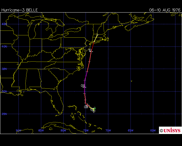
Good example will be the tropical cyclone threat along the east coast of the US. First began in early July with a sub tropical system riding the east coast. That was a good indicator of (1) a more Nina type pattern and (2) the possible path of other systems. Last important event was Bill which was a close call. And next up will be Danny ( we will be hearing from him in coming days)
But anyway, for the east coast - the trend will be - SE states colder than normal winter (which is almost a given with any Nino), and depending on the SST pattern in the tropical Pacific - which region has the greatest anomalies - and also the level of anomalies - a weak/moderate Nino nearly always yields a stronger than normal subtropical jet stream which means snowier and colder than average mid-atlantic and new england.
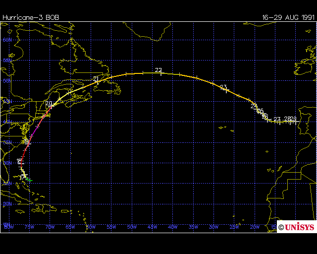
As far as some analogs go, and has been talked about - considering other global patterns that were similar to 2009 , were 77-78 (blockbuster winter), 68-69, 57-58. 1991-1992 is another possibility as well as far as El Nino goes.
Here is a good starting site on El Nino/La Nina and pacific SST patterns.
http://www.elnino.noaa.gov/
And here are the ENSO averaged measurements from 1950-today
http://www.cpc.noaa.gov/products/analysis_monitoring/ensostuff/ensoyears.shtml