
You are using an out of date browser. It may not display this or other websites correctly.
You should upgrade or use an alternative browser.
You should upgrade or use an alternative browser.
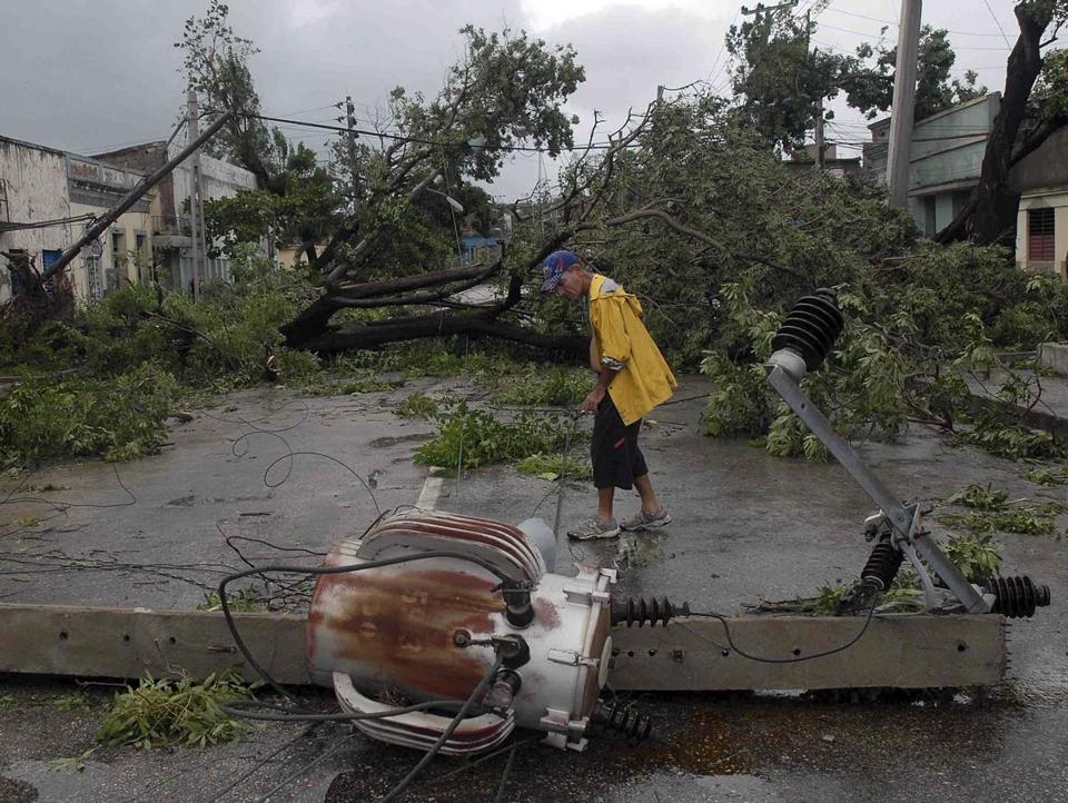
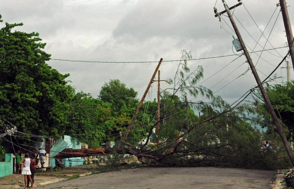
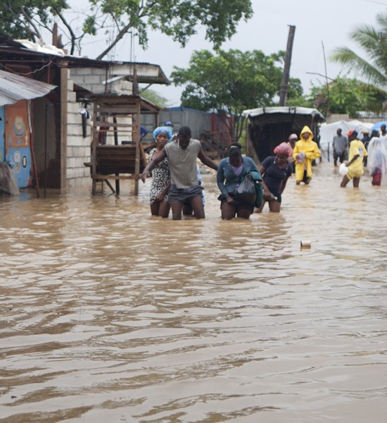
TS Sandy
- Thread starter texan
- Start date
UnconTROLLed
perfection
For decades the discussions were abbv. and far more technical scientific analysis...until three? years ago noaa and nws decided to dumb them down . Many mets were miffed by this, actually. For one, the discussions were taking 3x more time to prepare.Man they have their own language.

texan
Well-Known Member
I do not wish this at all. I pray it may not be so, but if the eye is slightly left of New York City, and
the right quadrant hits the city.................
I have watched Discovery about this senerio. It will not be well.
A full moon on Monday means tides will already be high.
the right quadrant hits the city.................
I have watched Discovery about this senerio. It will not be well.
A full moon on Monday means tides will already be high.
klein
Für Meno :)
Doesn't matter if they call it a hurricane or a tropical storm.....18 hours of rain in one place, when it stalls, is too much!!!
Or 18 hrs of heavy snowfall !
island1fox
Well-Known Member
I am not the most religious guy in the world but I have already said a little prayer for those in the path of Sandy.
I hope all the fishing boats in New England have returned to port and we do not have a real "Perfect Storm Two"
I hope all the fishing boats in New England have returned to port and we do not have a real "Perfect Storm Two"
UpstateNYUPSer(Ret)
Well-Known Member
I just hope we don't have late air on Monday (and Tuesday and Wednesday and...).
Babagounj
Strength through joy
More likely you'll also have late grounds, too.I just hope we don't have late air on Monday (and Tuesday and Wednesday and...).
UnconTROLLed
perfection
Amazingly this post and model run was from 4 days ago. now the European model this afternoon (same model) has come north from it's erred Delmarva position at landfall for the past several days, and more or less back to it's solution 4 days ago.12z euro shows Sandy rapidly intensify over the gulf stream and punching a hole deep into the stratosphere, hooks NW as it's absorbed by the incoming trof and slams into Block Island RI to Groton, CT. Would be a storm for the ages.
937mb at landfall - 27.67". LOL
Unlikely to happen exactly like that, but that's what it shows.
View attachment 7719
View attachment 7720
It appears as though NJ/NY/LI/ CT/RI/MA will be taking a historic hit. Worst-case is not guaranteed but certainly most likely outcome.
menotyou
bella amicizia
They were just worrying about the subways flooding in NYC. I guess a 20% chance. I don't know. Maybe, someone will get a bath.Amazingly this post and model run was from 4 days ago. now the European model this afternoon (same model) has come north from it's erred Delmarva position at landfall for the past several days, and more or less back to it's solution 4 days ago.
It appears as though NJ/NY/LI/ CT/RI/MA will be taking a historic hit. Worst-case is not guaranteed but certainly most likely outcome.
UnconTROLLed
perfection
better than 20%, jmo.They were just worrying about the subways flooding in NYC. I guess a 20% chance. I don't know. Maybe, someone will get a bath.
UpstateNYUPSer(Ret)
Well-Known Member
More likely you'll also have late grounds, too.
All of our loads are either already here or will be here for Monday. Much of our ground goes through Meadowlands so the rest of the week may be interesting.
They were just worrying about the subways flooding in NYC. I guess a 20% chance. I don't know. Maybe, someone will get a bath.
Do you mean the unwashed masses? I have no idea what your comment really implies. Care to expand?
UnconTROLLed
perfection
These are winds at 900mb or relative to the sfc, around 1500ft above. This is a top-down view of estimated low-level jet stream (llj) speeds at that level.
Notice the huge area >55kts. That is ridiculous, highly unusual. Anywhere that is "exposed" with little or no land/ sfc friction (mostly for coastal/ocean interests) will easily mix down 80-90% of that wind. That is sustained 45kts for the entire coastline from New Brunswick to North Carolina.
Inland the ratio is usually 60-80%.
UnconTROLLed
perfection
By the way, that is 80-100kt from ME to NJ. or 89-109mph.
Also, some center reorganization underway right now.
Tropical cyclones historically strengthen while moving NE parallel to the SC/NC/OBX and etc coast
Also, some center reorganization underway right now.
Tropical cyclones historically strengthen while moving NE parallel to the SC/NC/OBX and etc coast
UnconTROLLed
perfection
@TxStormChasers
MT @MetPhenomena #Sandy now has the largest Integrated Kinetic Energy (IKE) of any tropical cyclone in history, 222 terajoules. (Nerd Alert)
MT @MetPhenomena #Sandy now has the largest Integrated Kinetic Energy (IKE) of any tropical cyclone in history, 222 terajoules. (Nerd Alert)