Christian M
Active Member
can you guys share your first experiences on how you learned how the packages were to be delivered and what you used to lead you to your stops. Would be appreciated

It’s called using your brain. Really, it’s not rocket science. You put packages on peoples porches.can you guys share your first experiences on how you learned how the packages were to be delivered and what you used to lead you to your stops. Would be appreciated
It’s called using your brain. Really, it’s not rocket science. You put packages on peoples porches.
can you guys share your first experiences on how you learned how the packages were to be delivered and what you used to lead you to your stops. Would be appreciated
It wasn't GPS, EDD, or anything with an automatic trans!can you guys share your first experiences on how you learned how the packages were to be delivered and what you used to lead you to your stops. Would be appreciated
can you guys share your first experiences on how you learned how the packages were to be delivered and what you used to lead you to your stops. Would be appreciated
A map ??? I’ve heard of those , they were made of paper !A map, some common sense, and a good sense of humor.
Three things that too many folks under 30 no longer have.
can you guys share your first experiences on how you learned how the packages were to be delivered and what you used to lead you to your stops. Would be appreciated


Obviously I know packages would go on porches sir. My question is What shows your where your stops are.It’s called using your brain. Really, it’s not rocket science. You put packages on peoples porches.
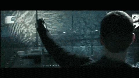
Seriously? CmonWhen you get to your center in the morning you should take about 15 minutes to pull up and plan your stops on the holo-wall like Tom Cruise pulled up future crime perpetrators in “Minority Report.”
Sounds complicated but you’ll get used to working with the holo-gloves. Just don’t overthink it and you’ll be fine.
A seeing eye dog would be helpful because blind people load our trucks.Obviously I know packages would go on porches sir. My question is What shows your where your stops are.